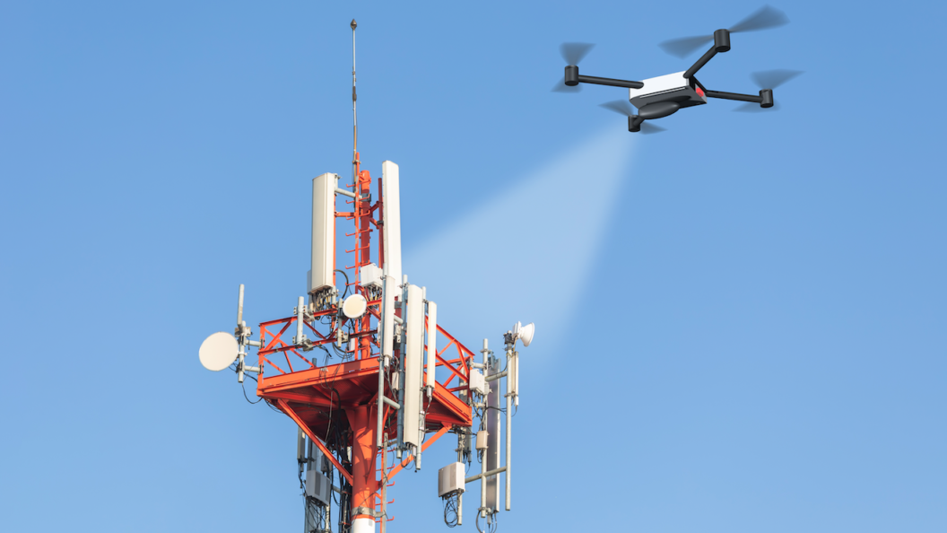
Stunning, drone-captured bird’s eye images can be an excellent marketing tool for commercial real estate. When used right, these images can make listings look incredibly attractive and inform potential buyers of important features like the topography and immediate neighborhood of the listing.
However, marketing is not the only field in which drones can be put to great use. Drones can also be used to perform various critical tasks like data capture and analysis, architectural planning, and remote inspections.
Let’s take a look at how drones can help streamline everything from project planning to due diligence conducted by potential buyers.
1.) Architectural planning:
Aerial footage allows architects and developers to clearly visualize the final structure of a project in the context of its surroundings and create architectural designs that are not only unique but also functional. While most architects still use satellite images for site planning, they are usually pixelated, low in quality, and difficult to access.
Drones, in contrast, can produce easily accessible, high-resolution imagery. Using data gathered via drones, architects can make designs that consider all the different land, foliage, soil, weather, and construction variables.
Similarly, 3D renderings, maps and models made using quality drone footage can help builders understand and execute the construction accurately, with complete clarity of vision on the final output.
–
2.) Surveying:
Conducting land surveys is an essential step in the construction process. It’s on the basis of topographical data gathered via surveys that builders map drainage systems, assess the condition of the land, and plan the positioning of structures.
With constantly changing technology, drones can be fitted with newer equipment. They can carry high-definition cameras, thermal sensors, and infrared scanners to conduct topographical surveys on a site – work that usually takes ages and involves considerable resource and labor costs.
Builders would also have to employ surveyors to visit sites on multiple occasions to conduct such surveys. Drones can do this for a fraction of the cost and in much less time.
–
3.) Saving time and money:
Commercial real estate projects run on tight schedules. Deadlines are set ambitiously, and multiple stakeholders need to be routinely updated. With drones, real-time images can be produced instantly by site managers, which will help builders make better decisions and set realistic, well-informed deadlines.
Further, delays are common in real-estate markets. Because of the large-scale supply-chain disruption caused by the pandemic, the US is currently more than 3 million homes short of the market demand.
Such unstable markets could benefit from drone technology that not only helps keep tabs on worker output (through broad aerial imagery) but also helps builders identify problem areas and think of effective solutions preemptively.
–
4.) Higher project visibility:
Builders or property owners presently have to physically visit sites or rely on the word of site managers in order to determine the progress of work. Often, such information is inaccurate, biased, and out of date. With drone technology, progress can be monitored in real-time.
Drones can cover large areas at a time and produce detailed images reflecting the scale of progress as well as worker efficiency. Armed with such information, builders can evaluate progress and communicate effectively with site managers to get things back on track.
They gain constant visibility on the project and are thus able to inform other stakeholders of the progress. They are also able to foresee potential risks and delays better and plan for them in advance. Data collected by drones can also be used by other teams, such as design, engineering, marketing, and client servicing, to assist in their respective needs.
–
5.) Increased safety:
Workers often have to climb extreme heights and walk over dangerous, unfinished platforms that often result in injuries and fatalities. According to the Census of Fatal Occupational Injuries report, falls account for 343 out of 1008 or 34% of all construction deaths. In addition, several construction materials such as asbestos, lead and polyvinyl chloride are harmful to the body and can cause illnesses.
Drones can replace workers when data needs to be collected in such hazardous conditions. This ensures worker safety while also producing accurate data.
–
6.) Easier documentation:
With a drone collecting images and other data at every stage of the project development process, the real estate team would have a highly-credible repository of the site’s life cycle.
Documentation is not only significant from a legal perspective, but it is also invaluable to planning future projects. Mistakes made on one project can be identified and avoided in the future if one has access to relevant data.
Stakeholders can therefore review the process and streamline it for other projects that might benefit from such observations. The data and images produced by drones can also be used for marketing purposes, helping sell the property at competitive rates.
–
With each passing day, drones are becoming smarter and easier to operate. Being battery-operated, drones are also environmentally friendly and have little-to-no harmful effects on their surroundings. Overall, drone technology is only going to become more useful as it evolves.
An investment in drones is likely to bring benefits and add value to a sector like commercial real estate that relies so heavily on the visual medium in order to make sales. With utility in so many processes of real estate development, drones are likely to become an integral part of the business– a necessity rather than a novelty.
Up Sonder can help you unlock the next level of real estate development and marketing with state-of-the-art drone services. Hire one of our talented and FAA-certified drone pilots located all across the U.S, and they will be at your service to capture stunning drone footage of your property. Book your flight with Up Sonder today!


