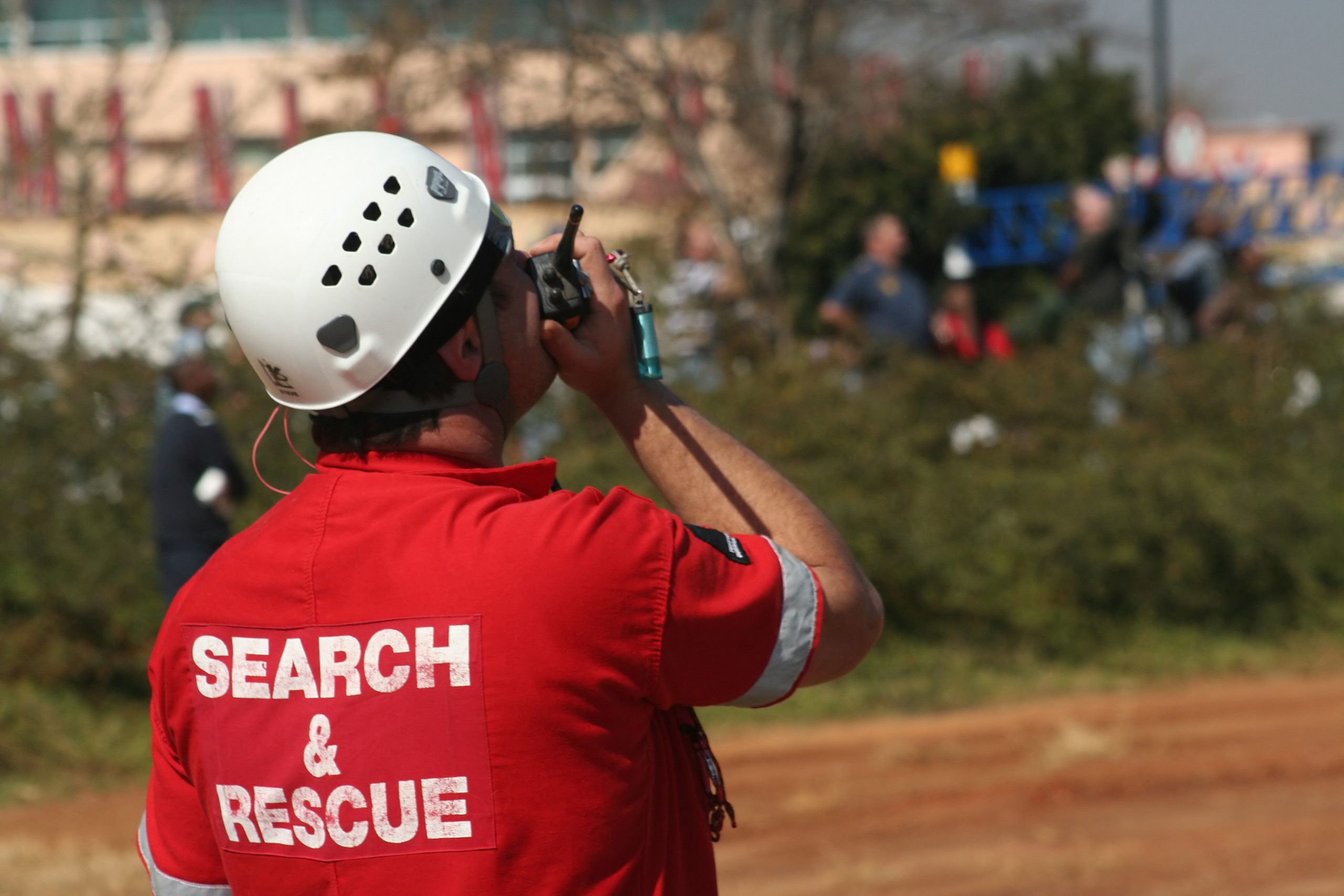
Who said drones were only meant for taking videos for films?
Drone technology has made a positive impact on society by going beyond what human strength can accomplish. This is why this tech has been used in several different applications, including integration into search and rescue. Unmanned Aerial Vehicles (UAVs) or drones with legal permission to fly are an amazing tool for use in ground search missions and imagery missions for these reasons:
3 Reasons Rescue Drones Are An Amazing Tool
1. Saves Time and Resources
Search and Rescue operations are costly. You need to pay for manpower, like pilots for aerial missions and have an emergency response team for disasters like floods, hurricanes, and earthquakes. With UAVs fit for industrial use, you can fly and get the necessary information without having to spend for labor or fuel. Drones are also able to capture high-quality images of a large area in just a short amount of time, so they are a very handy tool to speed up the search process.
2. Delivers Useful Apparatus
Depending on the type of drones used, they will be able to carry a certain amount of weight and therefore some number of useful pieces of rescue equipment. Tools like life vests, ropes, food, and first aid kits can all be flown to a location via a drone. These amazing drones will help lift heavy tools and are able to transport them to another location with ease.
3. Provides Civil Protection
Drones were pictured as a threat to society because of their potential of becoming a tool for terrorism, but a lot of features have been used by public safety groups to complete risky operations. From saving lives during natural disasters like fires and hurricanes to sending relief to those stranded. Drones are a big help after there has been a disaster, but they’re also able to help in preventative ways. Some high-powered drones can help identify areas that are unsafe to travel by using high definition cameras, and their ability to access inaccessible locations.
4. Compatible With Geo-reference Systems
This means that images captured from a drone can be viewed, inspected and analyzed using geographical data from the system to determine the exact location of the person, or area in distress. A drones geo-targeting software can easily compute exact ground coordinates, or take measurements of distance and locate points of interest in real time so that a search and rescue team has all the necessary information to better do their job and save more lives.
If you are looking for Federal Aviation Administration-approved drones that can aid your organization in search and rescue operations or are looking for the latest drone technology resources, these are readily available on our site.
By Up Sonder Guest Contributor
Amanda Shaffer


Pharmacogenomic testing can help identify genetic variations that may impact medication safety and efficacy in older adults.. cialis 10mg pas cher