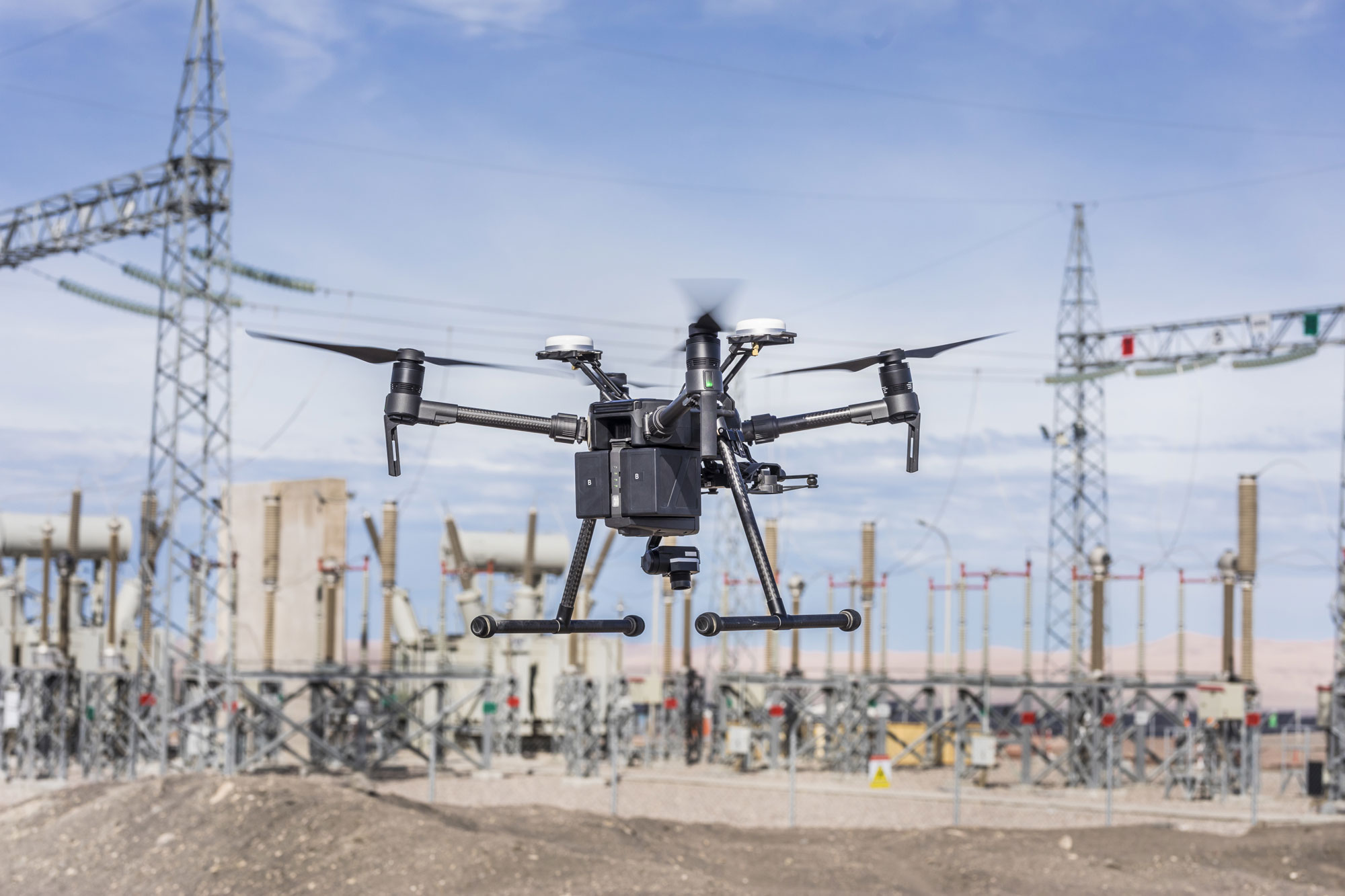
Drone technology is changing the face of engineering!
It is raising the bar for engineers, construction workers, and more. Here are some of the top ways that drones are improving engineering.
Drone Technology Improves Safety in Construction
Construction engineers can be significantly safer and more productive with the help of drones. Drones can go where you can’t. It takes a drone only seconds to get to high places, narrow spaces, and hard-to-reach spots. If you tried to get to those same spots, it would take significantly more time, and you would also be putting your safety at risk.
Because of the small size of drones, drones are also able to get into much tighter spaces than most people. Drones can be your eyes and ears so you can spend less time putting your own safety at risk and more time developing innovative engineering solutions.
When circumstances such as extreme temperatures and hard-to-reach locations, halt work and threaten to delay progress, drones can keep working. They can get a closer look at the job site so you won’t waste any valuable time or resources. Drones can help you assess the damage on a steep roof or scope out a construction site in the midst of rough terrain.
When a work site is dangerous because of hazardous chemicals, dangerous machinery or extreme height, drones can get a closer look while you stay safely on the ground. Keep your whole team as safe as possible, and eliminate liabilities by utilizing drone technology.
Drones Make Life Easier for Project Managers
If you’re a project manager, a drone can help you make informed decisions. Drone technology helps keep you up-to-date every step of the way on a project. It’s the fastest, most effective way to get an overall picture of how your project is coming along. It can help you identify problem areas quickly and make sure you’re staying on schedule with a project.
No matter how much distance separates you and your team, you can always have an open line of communication thanks to drone technology. If there’s a problem on your job site and you’re far away, you can have a look using high-quality photography on a camera-equipped drone.
Not only is this great for project managers and their teams, but it’s also useful for clients. When a client wants to monitor your progress on a job site, you can offer them accurate, high-quality updates using our drones. You don’t have to spend much extra time and energy to update them.
Drones Assist with Pipeline Monitoring and Electric/Gas Equipment Maintenance
Drones are great inspectors! They can get up-close for inspections that are even more accurate than what a person can do. That helps you quickly identify problems with pipelines, electric equipment, and gas equipment.
You can find drones that are equipped with thermal imaging cameras. Thermal imaging allows you to see different heat signatures without a specific area. People are not able to see these heat signatures. Thermal imaging can save you from costly errors. After a camera has captured these heat signatures, drones can interpret the data. If there are any leaks or other problems in pipelines, electric equipment, or gas equipment, you’ll see them. That helps you preserve quality and saves you money. You can identify hazards before they become major issues, and someone gets hurt.
When there’s an emergency, drones are the safest, fastest way to respond. If you want a real-world example, consider one of EDF Energy’s pipelines exploded in a remote, deserted area of Socal, California. EDF is the UK’s largest producer of low-carbon electricity. When the pipeline exploded, they needed to be able to quickly and accurately assess the damage and respond. EDF decided to use Up Sonder’s drone technology. Every week for three months, Up Sonder flew their drones around this area in Southern California to give EDF the vital updates they needed. Everyone stayed safe, and EDF got accurate reports that they needed.
Drones Are Helpful for Aerial Surveying and 3D Mapping
Drones simplify site planning by helping you get a detailed overview of a large area quickly. You can gather accurate measurements faster than ever before, including detailed 3D mapping. Because of the range of drones, pilots can be far away and still operate the drones.
With the help of drones, physical barriers don’t have to be obstacles anymore. This technology makes it easy for you to obtain uninhibited 360-degree views of a specific location. You are also able to adjust a drone’s cameras remotely, so you end up with the exact images that you wanted.
Marking the boundaries of a for-sale property can be a challenging, time-consuming task. But drones slash the time and expense of surveying. What once was a painstaking task becomes a cinch with drones! Drones transmit and store data, so you have it on record for as long as you need. It’s easy! Drone imaging doesn’t just help give you a broad idea of a location. It can give you extremely detailed images. Be as informed as you want to be with high-resolution drone photography.
Drone technology saves time and money and increases project safety and accuracy. There are so many incredible benefits to utilizing drones in the engineering industry. If you are in any part of the engineering industry, contact Up Sonder. Let our drones add value to your next project!


Thanks-a-mundo for the post.Really thank you! Awesome.
My website: порно россии