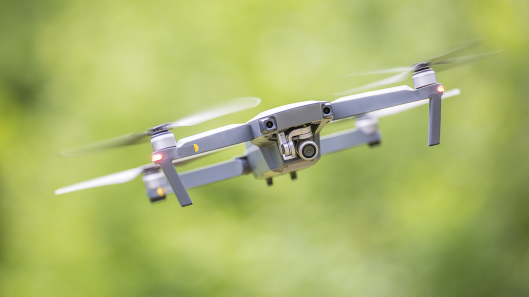
Using drone imagery to market homes and commercial property seems to be the standard operating procedure for progressive agents. Being referred to as ‘flagship’ tools for real estate marketing, drones can help create a visual story of the property by giving real estate agents access to creatively captured shots, 3D imagery, and video editing perks, among others. By visually communicating key aspects of the property, such as its surrounding area and block size, drones offer their users a more compelling narrative than traditional ground photography.
Besides offering dynamic visual content, drones are also advantageous as an efficient and cost-effective way to capture real estate properties. Thanks to their impressive battery life, their powerful flight capabilities can be used to inspect construction quality, survey sites, and photograph completed buildings. But how much time and money can drones help you save in real estate?

–
Cost-effectiveness and efficiency of drones in commercial real estate
Consider the scale of commercial properties. The category of commercial real estate includes all kinds of retailers such as restaurants, malls, office space, resorts and hotels, and healthcare facilities. Now consider what capturing this scale would cost. Traditionally, the means to capture these properties were from the ground or using traditional aerial photography. Ground photography, while having utility in real estate, falls short in capturing the size of larger spaces, such as a strip mall or factory, relative to their surroundings.
Time is an additional factor of the essence. Ground photography of large areas can take a while, and require that any construction work be put to a halt. But this can be counteracted using aerial photography, right? In traditional aerial photography, it was common for a photographer to sit in a helicopter or plane and capture the property while flying. The difficulty with traditional aerial photography is that it can take much longer than ground photography and requires a lot more capital to execute. The larger the property, the longer it would take to capture it.
Additionally, using traditional aerial photography, it may not be possible to use tools like 3D modeling. This is where drones can help. Here are some ways drones help save time and money:
- Efficient: In comparison to ground and traditional aerial photography, drone photography is an incredibly efficient way to capture a property. Even when dealing with large land plots, drones can roughly take up to an hour to capture all of the surroundings nearby. Since they are remotely operated, all one needs to monitor is the time that they choose to fly the drone, without running any additional safety risks. This is an incredible feature, as what would have taken half a day or even a couple of days can be completed in a fraction of the time.
- Budget-friendly: You can access high-quality drone footage at an affordable cost of anywhere between $200 to $1500. The $200 to $500 ballpark is estimated for smaller properties, where you can get 10 to 15 high-resolution images and video clips each as well as basic editing. On the other hand, the $500 to $1500 option is ideal for larger commercial properties, which can take a full day’s shooting to capture the property at all times of the day. You would receive at least 25 high-resolution images, a complete video tour, and over 15 high-resolution video clips, along with complete editing and MLS optimization.
- Discreet: Additionally, there is no requirement to shut down any ongoing work sites when drones are in operation. Since they are small, drones allow for monitoring or inspecting a site in real-time, allowing real estate agents to offer detailed reports to their developers. Drone technology can also offer a detailed overview of the location using land surveying, which can subsequently reduce the timeframe for construction. This feature can lead to a quicker turnaround time for projects.
- Safe: Another crucial point to note is that drones save time and money by taking away some of the risks presented by active construction sites. Typically, a safety manager would assess the quality of a construction site or property, which could prove dangerous if the property was uninhabitable. By using drones to survey underdeveloped land, or inspect heights like bridges, the risk of accidents is significantly mitigated. Drones ensure that you conduct safer, more accurate, and faster inspections, instead of having to conduct potentially dangerous physical walkthroughs.
- Convenient: With drones, you get the benefits of modern technology at your fingertips. This includes features like 3D models, artificial rendering, and other tools, each of which can add as much detail to your property’s visuals as you need. For instance, using drone footage of the land and construction work, you can create an artificial render of your project and show prospective buyers what it will look like upon completion. You can also accentuate key features using 3D modeling, such as indoor parking, fire escapes, and more.

–
Tips for stunning drone photography
Drones can help reduce a lot of the burden that comes with real estate marketing. Being a rather cheap and convenient alternative to showcase the selling points of a building or a home, drones are a great way to get an edge over your competition. Here are some ways to make the most of drone photography:
- Select the optimal flying time: Ensure your drone is flying at a time when the weather is clear. Being smaller than planes, drones are more susceptible to damage if piloted during difficult weather conditions like a storm or rainfall. When the weather is unfavorable, you risk damaging your drone and also cannot expect reliable imagery. While some drones can handle the impact of weather-related changes like gusts of wind, it’s recommended to avoid bad weather entirely. Be strategic about timing your shoot. This implies picking a day and time that maximizes the effectiveness of the lighting. For example, you want to avoid gloomy, dark, and windy days for aerial shots. Judge what lighting and angle enhance your property the most.
- Contextualize your property: One of the main selling points of your property is the area it is surrounded by. How far is it from the nearest transit? Is it in a crowded or remote area? How large is it relative to its surroundings? Use drone photography to answer these questions and let your clients see for themselves. By contextualizing your listing, you can increase how valuable it appears. Ensure you are capitalizing on this aspect of aerial photography.
- Highlight key features: Aerial shots using drones can be a great way to show off amenities that are otherwise difficult to capture. Start by asking yourself what amenities you want to capture through your drone photography. For instance, you might want to highlight a roof with a solar panel setup. This can prove difficult for traditional photography, as it might not be safe to capture or easy to contextualize. By specifically noting the features you want to highlight, you can ensure you are capturing them in your drone photography.
–
Make the most of professional drone visuals with Up Sonder
Drones give commercial property holders a way to capture stunning visuals at an affordable cost, making them the top choice for real estate marketers. Not only does drone photography do justice to capturing the backdrop of a property but it takes just as little as an hour to shoot, survey, or inspect commercial properties. Making a high-quality drone video takes practice and skill, which is where Up Sonder can help. Up Sonder gives you access to an array of professional FAA-certified drone pilots, who can pilot a drone to the location of your commercial property and capture it at its best.
With Up Sonder, you have the flexibility of choosing how hands-on you’d like to be on your real estate property’s marketing. Not sure how to market your project? We can handle it from start to finish. Determined to capture the essence of your listing with a detailed plan of what you want? We’ve got the drones for you. In either case, you’ll get access to stunning footage and sharp aerial drone photography that can take your property’s valuation to the next level. So what are you waiting for? Book a flight with Up Sonder today to make the most of what drone visuals can offer you.