

Commercial real estate
Commercial Real Estate Has Been Looking at Drone Data the Wrong Way
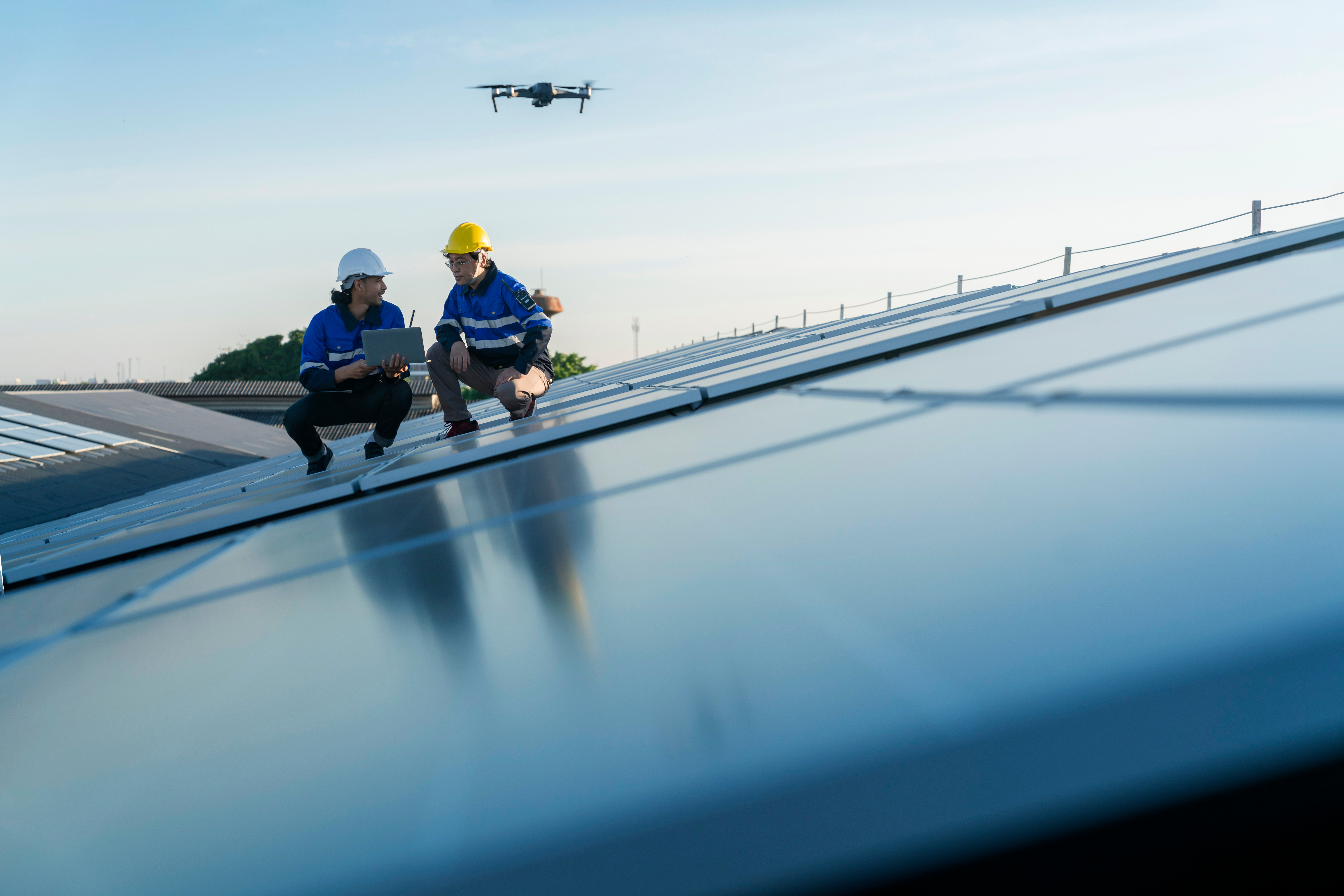
Why the Most Valuable Thing a Drone Captures Isn’t the Video—It’s the Information.
For years, commercial real estate has viewed drone services primarily as a marketing tool. Brokers hire drone companies to produce dramatic aerial photographs, cinematic videos, and polished visuals that help listings stand out in a crowded marketplace. Sellers enjoy seeing their properties from a new perspective, and investors appreciate the professional presentation. Those are all legitimate benefits, but they represent only a fraction of what professional drone capture actually delivers.
The commercial real estate industry has unintentionally underestimated the true value of drone technology because it has focused on the finished images rather than the information those images contain. A professionally planned drone mission is not simply a photography session. It is a structured process for collecting visual intelligence about a property and its surrounding environment. Every flight captures relationships, context, and operational characteristics that would otherwise require multiple site visits or extensive explanation.
This distinction is becoming increasingly important as investors evaluate properties across larger geographic areas and expect faster, more informed decisions. The firms that understand drones as data collection platforms rather than flying cameras are positioning themselves ahead of competitors who continue to think only in terms of marketing.
Looking Beyond Marketing
Marketing has one primary objective: attract attention. Information has a different objective: reduce uncertainty.
Commercial real estate transactions are ultimately driven by confidence. Investors commit capital when they believe they have a thorough understanding of both opportunity and risk. While attractive photography may encourage someone to look at a listing, it is meaningful information that moves the transaction forward.
Professional drone capture contributes to that understanding because it presents a property within its complete operating environment. It reveals how the asset connects to surrounding roads, neighboring businesses, nearby developments, infrastructure, and customer access patterns. Instead of seeing isolated photographs, investors begin to understand how the property functions as part of a larger commercial ecosystem.
That change in perspective transforms drone imagery from a marketing expense into an investment decision tool.
Every Flight Collects Information
Every drone mission begins with a camera, but what it produces extends far beyond photographs.
As a drone moves around a commercial property, it documents the relationships that define how the asset performs. It captures the distance between the building and major roadways, the configuration of parking lots, the visibility of monument signage, the positioning of loading docks, and the interaction between neighboring businesses. These details are difficult to appreciate from ground level because people naturally experience properties one perspective at a time.
Aerial imagery brings those perspectives together into a single, coherent view.
Viewed individually, each photograph may appear to be a simple aerial image. Viewed collectively, they become a visual dataset that allows brokers, investors, lenders, and property owners to understand how the site operates before anyone schedules a property tour.
Professional drone pilots do not simply fly around until they find attractive angles. Every movement has a purpose because every angle answers a different question. This is why structured shot lists have become standard practice for professional commercial drone providers. The objective is not simply to create beautiful imagery—it is to collect complete information.
Context Often Creates More Value Than the Building
Commercial properties rarely succeed because of the building alone. They succeed because of everything surrounding the building.
A retail center depends on traffic volume, customer access, neighboring retailers, and residential density. An industrial property depends on transportation networks, truck circulation, nearby logistics infrastructure, and access to major highways. Office buildings benefit from surrounding business districts, employee accessibility, and supporting amenities.
These characteristics cannot be fully communicated through ground-level photography.
Drone capture provides immediate context. Investors can evaluate surrounding development, identify complementary businesses, observe competing properties, and understand how the asset fits within the broader market. Instead of relying on written descriptions or static maps, they gain a visual understanding of the property’s competitive position.
That context often answers questions before they are ever asked.
Information Reduces Friction
Every commercial real estate transaction contains friction. Some of it is unavoidable, but much of it stems from incomplete information.
When investors cannot clearly understand a property’s access, visibility, or surroundings, they begin requesting additional photographs, maps, explanations, and site visits. None of these requests indicate a lack of interest. They simply reflect a need for greater clarity before capital can be committed.
Drone imagery reduces much of this early-stage friction.
By providing comprehensive visual context from the outset, aerial coverage eliminates many of the questions that traditionally slow the evaluation process. Investors spend less time trying to understand the property and more time analyzing whether it aligns with their investment objectives.
For brokers, this means conversations become more productive. Rather than repeatedly explaining basic site characteristics, discussions can focus on strategy, financial performance, and acquisition opportunities.
Better Information Supports Better Decisions
Commercial real estate has always been an information business. Financial statements, market reports, demographic studies, environmental assessments, and engineering reports all exist for one reason: they reduce uncertainty.
Drone imagery belongs in that same category.
Although it will never replace formal due diligence, it strengthens every stage leading up to it. High-resolution aerial imagery allows investors to observe building orientation, parking utilization, access points, roof-mounted equipment, drainage patterns, adjacent land uses, and future development opportunities long before engineers or inspectors arrive on site.
This early understanding creates better conversations, more realistic expectations, and ultimately more informed investment decisions.
As technology continues to evolve, drones will collect even richer information. Artificial intelligence will help identify traffic patterns, estimate parking utilization, recognize maintenance concerns, and integrate aerial imagery with geographic information systems. What began as aerial photography is rapidly becoming aerial analytics.
The commercial real estate firms that recognize this evolution today will be better positioned for tomorrow.
A Shift in Perspective
Perhaps the biggest opportunity for the industry is not technological at all. It is philosophical.
When brokers think of drone services as photography, they evaluate providers based primarily on image quality and price. When they think of drones as information platforms, the conversation changes. Planning, consistency, compliance, structured capture protocols, and data quality become just as important as camera resolution.
This shift elevates the role of professional drone providers from media vendors to strategic partners in the transaction process.
That is ultimately where the greatest value lies.
The Up Sonder Difference
At Up Sonder, we believe commercial drone capture should do more than produce impressive visuals. Every assignment begins with a simple question: What information does an investor need in order to better understand this property?
That philosophy influences every stage of our process. Our nationwide network of professional drone pilots follows standardized commercial real estate shot protocols designed to collect complete visual information, not random aerial footage. Every flight is planned to provide context, improve transparency, and reduce uncertainty for brokers, investors, developers, lenders, and property owners.
Beautiful photography will always be part of the deliverable. But it is the information behind those photographs that creates lasting value.
As commercial real estate continues to evolve, the firms that outperform their competitors will not necessarily be those with the most attractive marketing materials. They will be the ones making better-informed decisions because they have better information from the very beginning.
Professional drone capture is one of the fastest and most effective ways to gather that information. If you’re ready to move beyond aerial photography and begin using drone technology as a strategic business tool, visit UpSonder.com to learn how our nationwide commercial drone network helps clients transform visual content into meaningful property intelligence.